Startseite-1
Impressum-1
NC-Tit-1

A hike for suicides

8 hours, 9 mi, 900 yd in altidude -.
and that in full sun (85°F in the shade, but there is no shade).
A steep climb of 150 yd in deep sand - we survived it very narrowly!
The GPS data are in the Exif - except for the panorama.
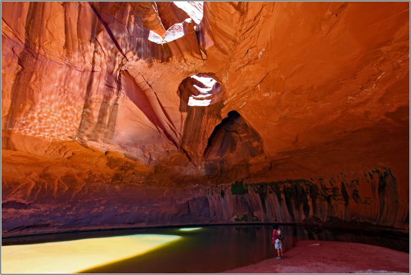
The acoustics in the Golden Cathedral (end of the canyon)
is comparable to the Cologne Cathedral!

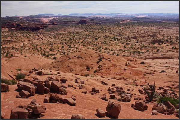
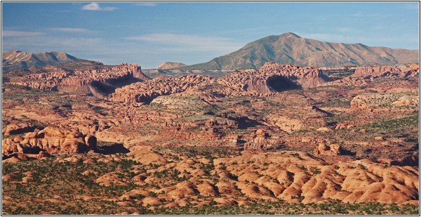
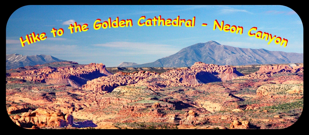
Overview from trailhead

Panorama 6x-w

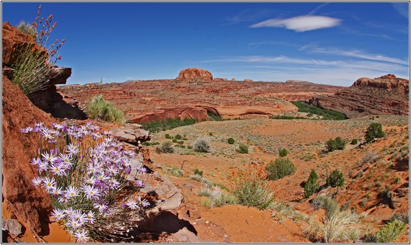
On the way there

IMG_5082x-w

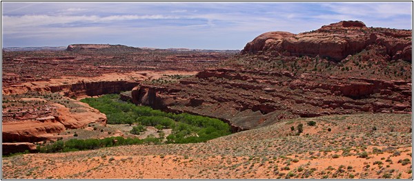
Escalante River near the Neon-Canyon.

IMG_5091x-w

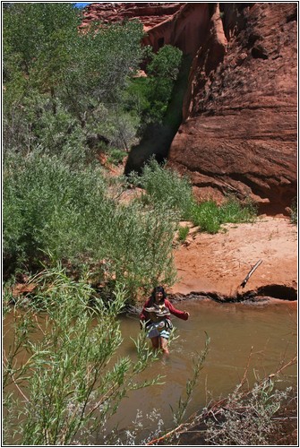
We wade through the Escalante River

IMG_5099x-w

End of the canyon - The Golden Cathedral

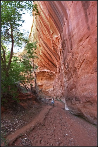
In the Neon-Canyon

IMG_5100x-w
IMG_5110x-w
NC-AveMaria-3

Sung by Karin
in the Golden Cathedral
at the end of the Neon Canyon

The Golden Cathedral - 360° Panorama

Panorama 4x-w
IMG_5207x-w
IMG_5199x-w

Directions

The trailhead "Little Egypt" can only be reached with a HC-4WD.
From Escalante Hwy. 12 towards Boulder, after 4 mi turn right onto Hole in the Rock Road.
Follow this road about 16 mi south, turn left - sign "Egypt" (GPS-1).
Trailhead after 10 mi at GPS-2 - down the hill to GPS-3.
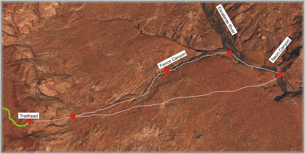
Now walk either through Fence Canyon or directly.
Fence Canyon starts at GPS-4 - it ends at the Escalante River (GPS-5).
From here right about 1.4 km to Neon Canyon, which starts at GPS-6
** and ends at GPS-7.
Round Trip via Fence Canyon about 8 mi and 850 vertical yard.
Round Trip direct way approx. 8 mi and 800 vertical yard.
In any case: lots of water are mandatory!
** here also wade the Escalante River.

GPS-Data

1. turn HITRR left towards Egypt: N37°32'27,9" - W111°21'42,4"
2. parking & trailhead: N37°35'34.8" - W111°13'06.0"
3. downhill to: N37°35'42.4" - W111°12'41.4"
4. fence canyon starts at: N37°36'14.3" - W111°11'45.6"
5. fence canyon ends at the escalante river at: N37°36'44.0" - W111°10'43.3"
6. neon canyon entrance: N37°36'21.8" - W111°10'06.4"
7. end of Neon Canyon (Golden Cathedral): N37°36'53, "0 - W111°09'45.3"

egypt-10

Update:  10.03.2020