Startseite-1
Impressum-1
TitNew-12

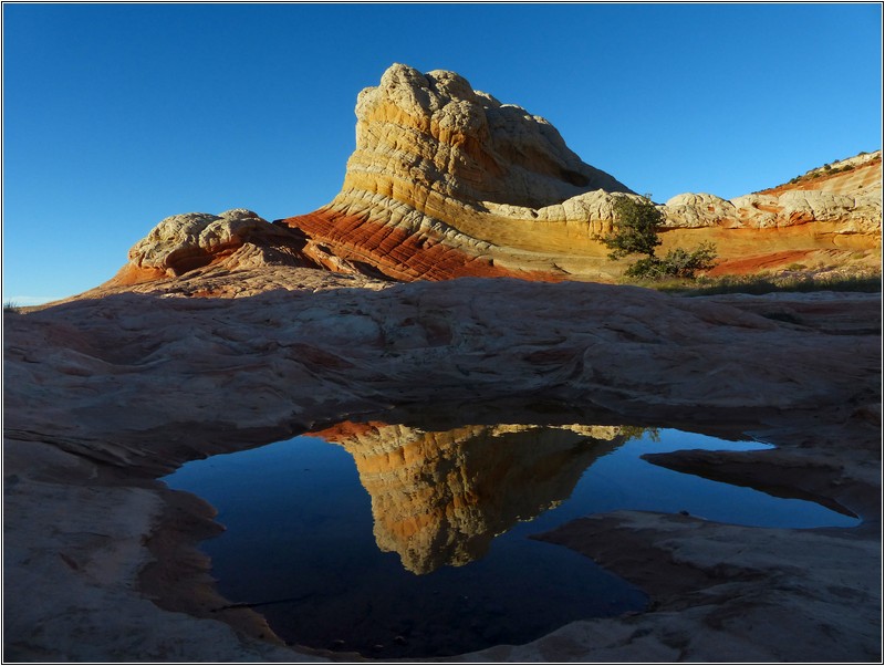
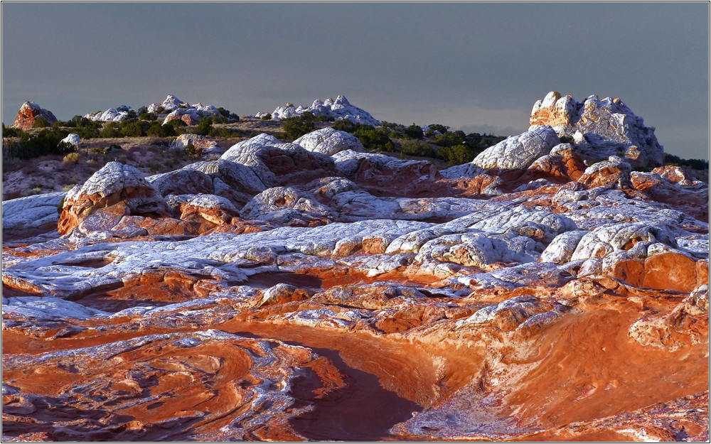
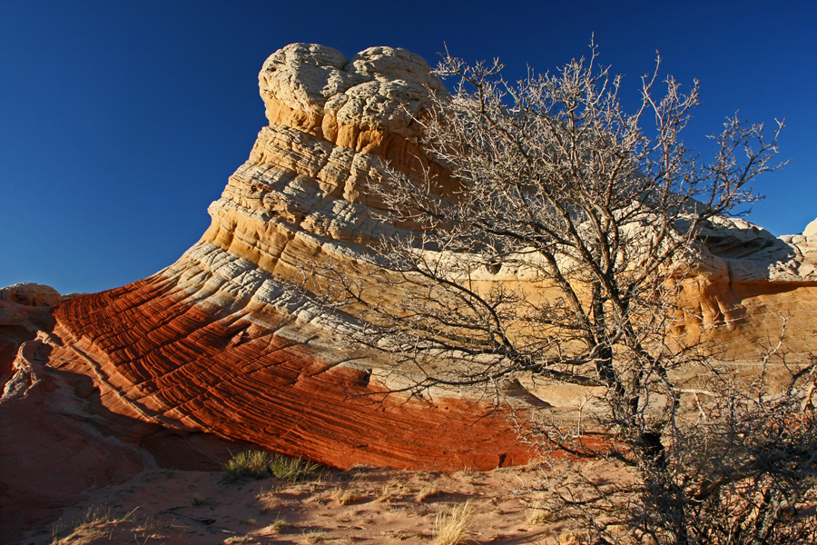
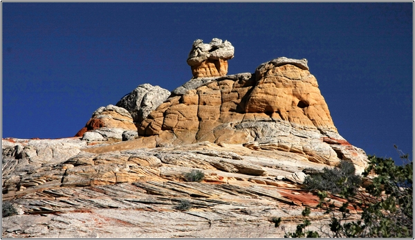
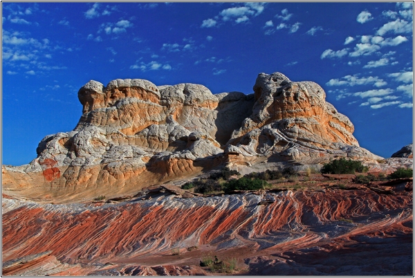
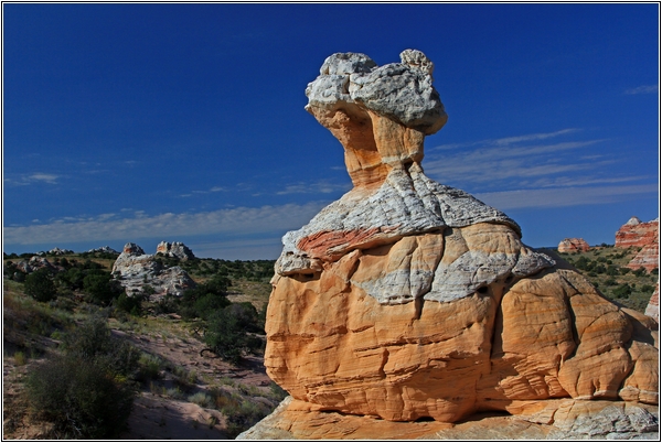
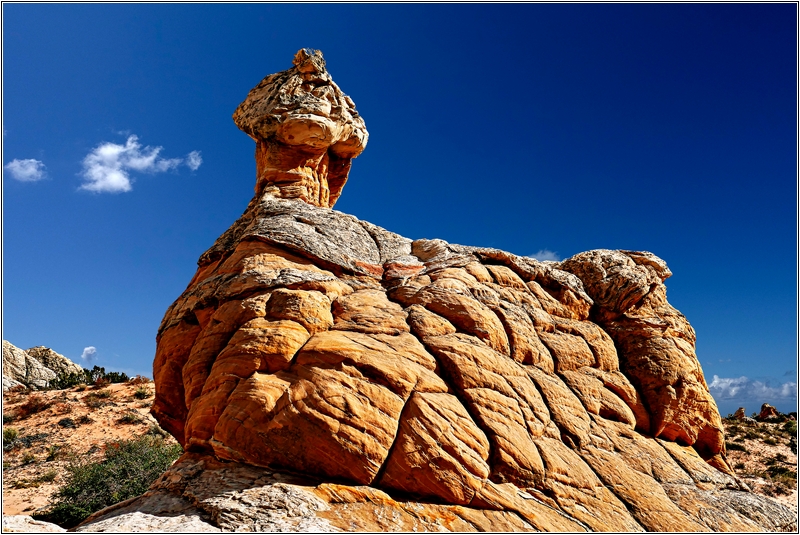
My favourite rock towards evening

P1050860xx-2

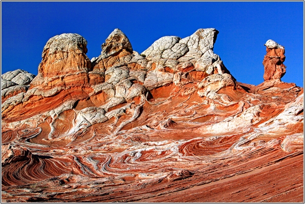
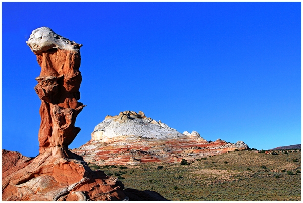
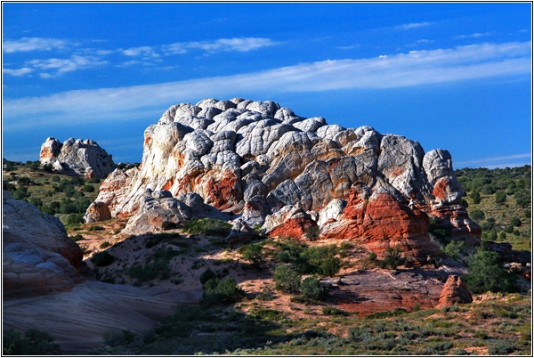
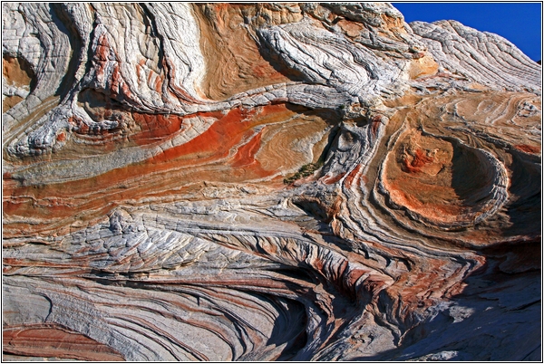
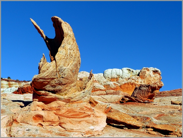
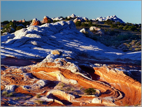
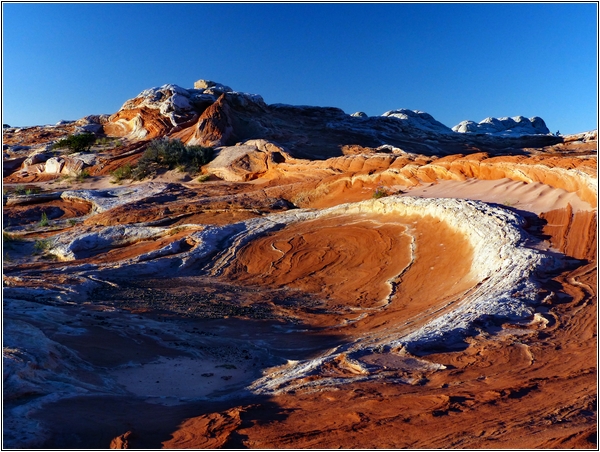
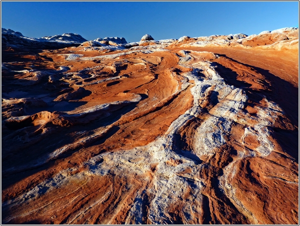
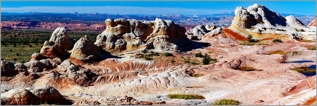
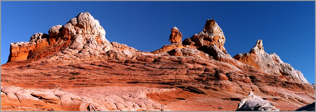
For me, the White Pocket is the absolute highlight of the entire southwest -
more exciting and varied than the nearby wave.

The approach can be easily mastered with every 4x4 vehicle. Nevertheless,
a shovel and a long towing rope are mandatory!

If the Buckskin Wash (on the north side of the Housrock Valley Road) blocks the passage
 you drive from the south over the 89A.

We went to the WP about ten times and stayed there several times overnight
to use the great photo light in the early morning and in the evening.

We avoided the weekend and each time we drove quietly on Tuesday morning,
 stayed 2 nights and drove back to Page on Thursday.

If the permit worked, we went to the Coyote Buttes South before or after that.

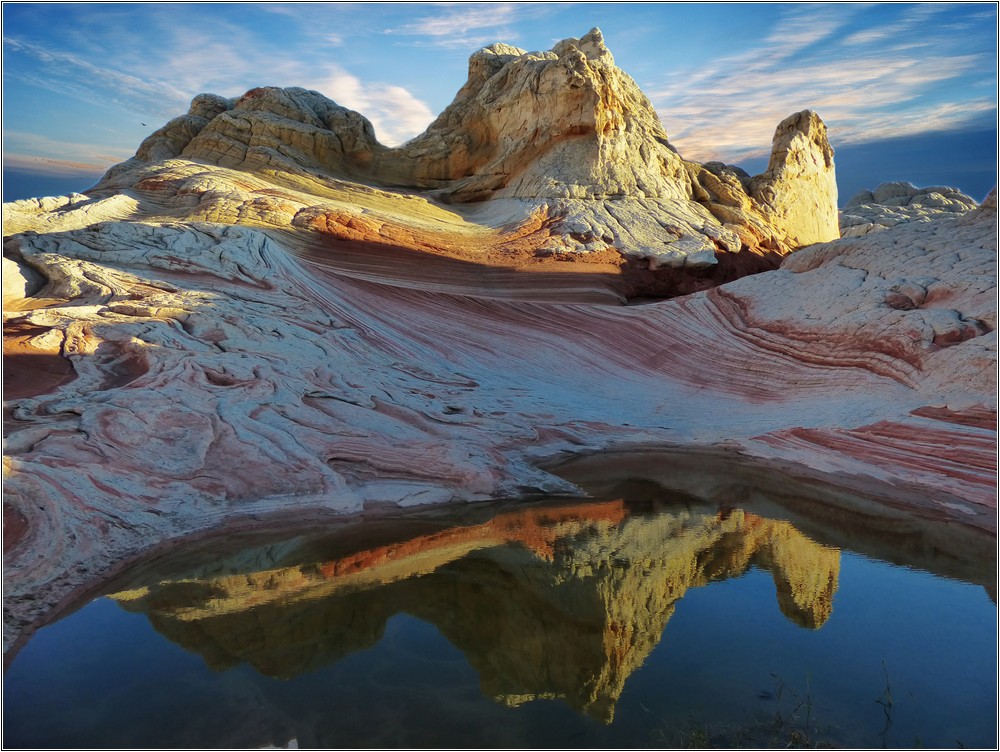
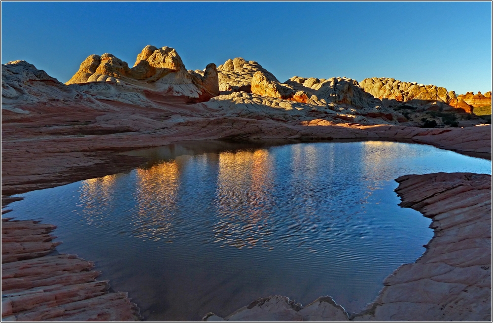
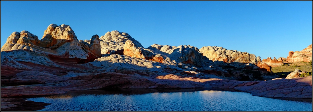
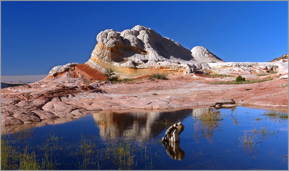
If you are very lucky, the sinks in the WP are filled with water by previous rainfall.
 which leads to particularly interesting photos.

If you don't have a suitable car, take the tour with Paria Outpost.
They do both in one day - Coyote Buttes South plus White Pocket.

However, this is completely inadequate for photographers,
because at both locations you are much too short and not even with usable light.

The main area of the WP is approx. 0.75 mi long.

In the period end of Sept. /beginning of Oct. it gets cold at night - so in the 40°F range - a good sleeping bag helps.
But it's not so hot for days - you can explore the whole area without torturing yourself.

2019-10-12_123643

A drone video
from Dave Coppedge!
 KLICK
on the photo


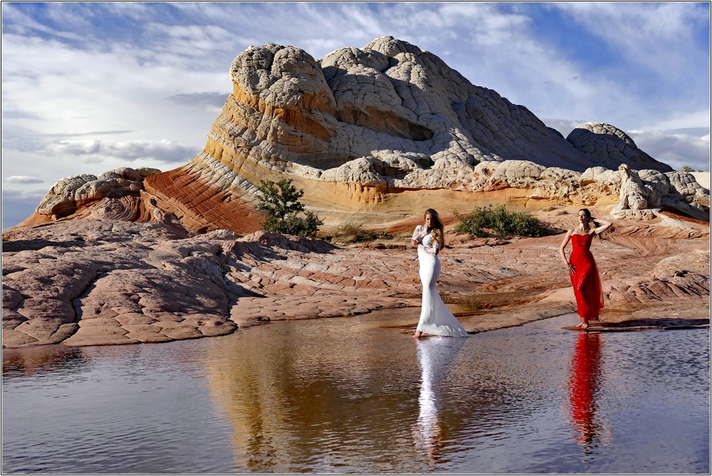
Here I was with a photo group incl. models at the WP - a new experience!

_1220436xs-1
_1220333x-1
_1220361xs-6
_1220550x-1
Whi-Pock-1
_1220346x-1
_1220461x-1

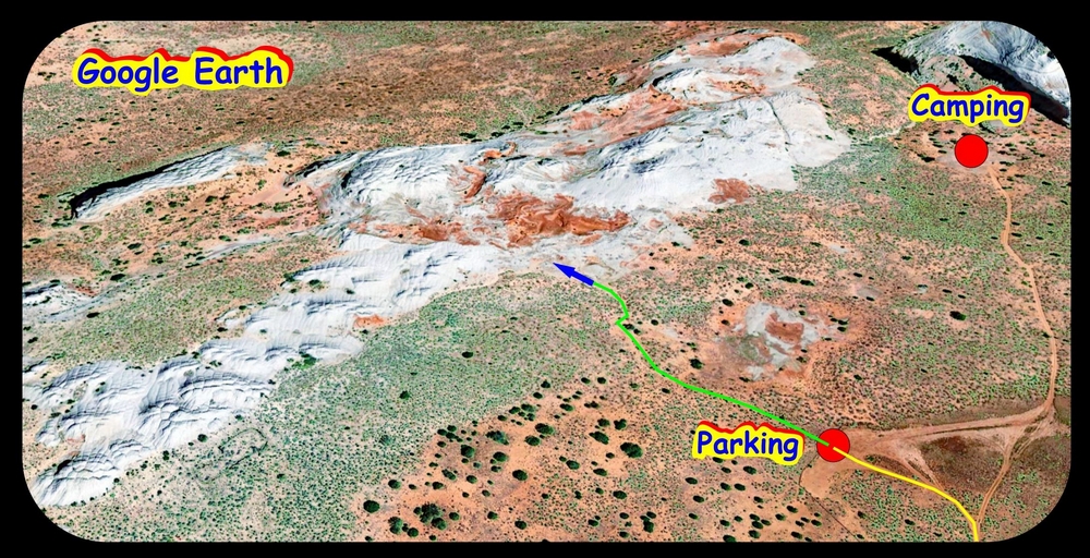
Parking lot at the White Pocket (drone)

DJI00235x-1
Phantom2plus

With the drone in the White Pocket

Most pictures have the GPS data in the Exif

WP-0891

In the morning at 7 - after a cold night in a jeep

WP-mu7
WhitePockets38

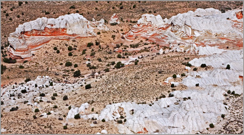
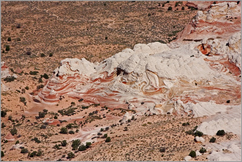
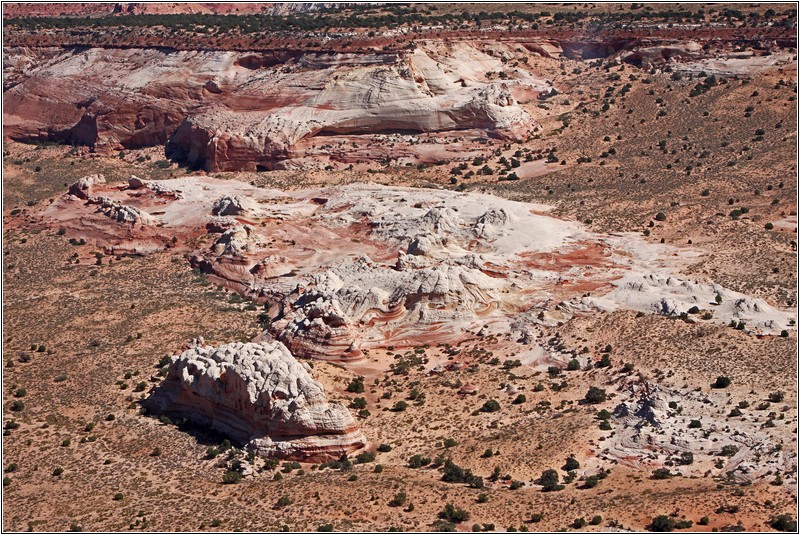
White Pocket - taken from a small plane during the sightseeing flight from Page.

WP-1
WP-2
WP-3
IMG_0361xs-5
IMG_0382x-7
IMG_1356xs-5
IMG_1450x-7
IMG_1466xs-5 IMG_1474xs-5
IMG_1487xs-5 IMG_1527xx-5
P1050791xs-5
IMG_1531x-7
P1050925xs-5 P1050935xs-5
P1050937xs-5
Pano-25
Pano-24-01xs-5
Pano-24-03xs-5
Pano-24-06xs-5
Panorama 25-6xs-5
TeilPano7xs-5
Pano-25-03x-7
Pano-25-05x-7
Pano-25-09xs-7
WP-W-736
WhiteP-P1
WhitePocket

Photo with Kodak 360° cam

WP0336

GPS: N36°56’55,4”  W111°54’10,5”

_1160298xs-8

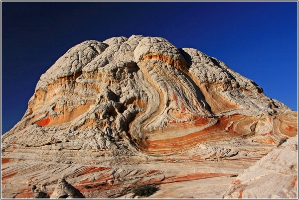
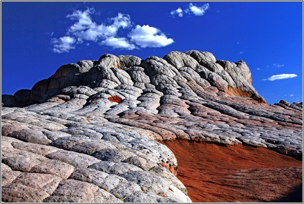
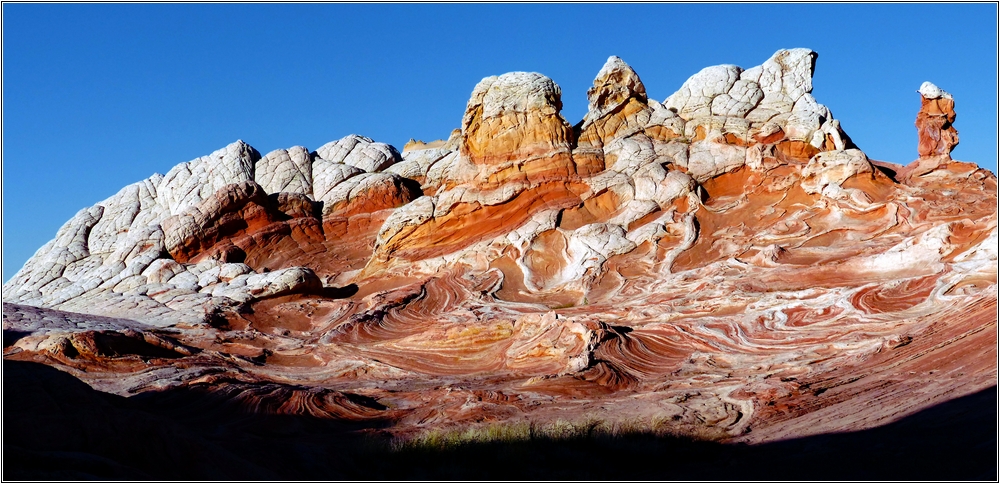
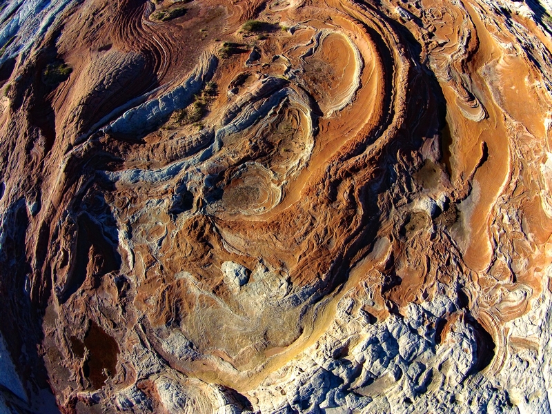
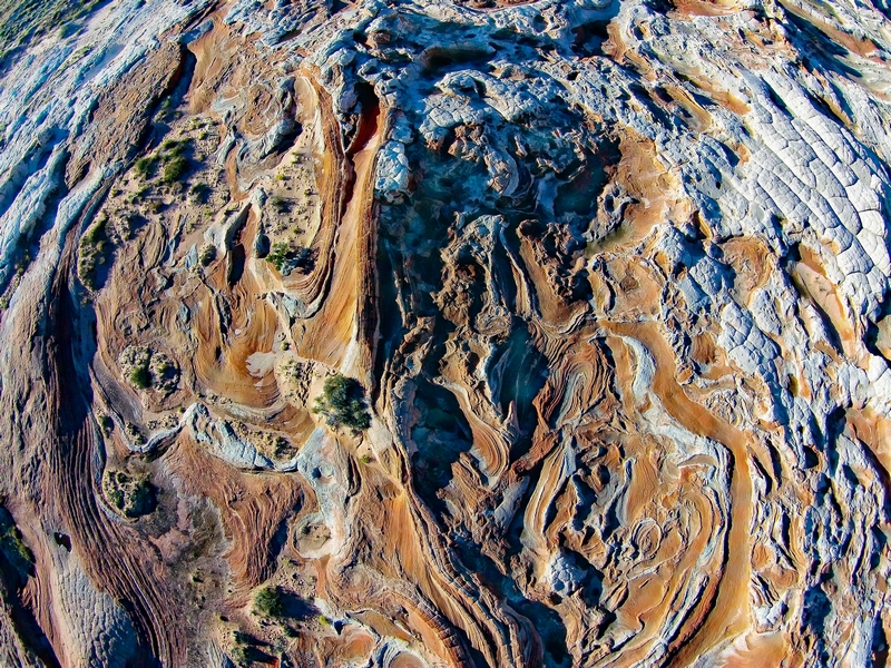
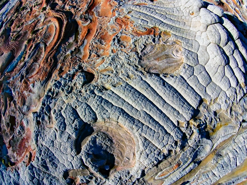
White Pocket Structures

DJI00221xs-8
DJI00223xs-8
DJI00225xs-8

Directions

2g-8

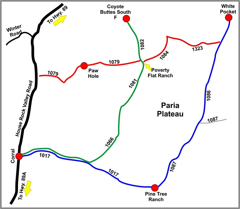
I strongly warn against using the red roads - deep sand !

Button-GPS-kl

A HC-4WD is absolutely necessary - when the sand is full throttle!
The road is easy to drive even after a long dry spell.
Nevertheless, a shovel in the car is obligatory!
Journey time from Page: about 2.5 hours

Directions:

From Page via Hwy.89 towards Kanab,
after 30mi turn left into House Rock Valley Road.
After 4 mi you cross the Buckskin Wash, which is often muddy,
after another 4.5 mi you pass the parking lot Wave,
After approx. 20 mi (from Hwy,89) turn left into Road 1017
After approx. 3 mi straight ahead past the turnoff left to Road 1066.
We're going straight!
After another 3 mi on the 1017 you reach an inhabited ranch
here we turn left in front of the ranch onto the 1087.
After a few mi, junction - we keep left again - now we are on the 1086.
Now straight ahead to Trailhead White Pocket.
The corresponding GPS data:

Turn off Hwy.89 onto House Rock Valley Road
with N37°07'34,8" - W111°58'37,0"
It goes through the wash at: N37°04'09,3" - W112°00'04,6"
It goes past the Wave parking lot at: N37°01'08,9" - W112°01'29,5"
It goes past the Winter Road at: N36°56'24,2" - W112°03'24,2"

Turn left from HRVR onto Corral Valley Road 1017
with N36°51'43,7" - W112°03'46,9"
At 1066 - straight on past at: N36°51'33,4" - W112°00'39,5"
Keep left in front of the ranch: N36°50'38,5" - W111°57'40,7"
Keep left at the fork: N36°53'02.8" - W111°55'13.2"
At 1323 straight ahead: N36°56'13,9" - W111°54'07,0""
Trailhead WP: N36°57'16,7" - W111°53'37,6"
about 1/2 mi in front of the Trailhead is a gate that is sometimes closed.
Then you have to get out in the deep sand to open it.
This is the only critical spot on the whole route.
When you see that the gate is closed, it's better to hold
so as not to have to stop in the deep sand !

The route from HRVR,
Junction Road 1017
to the Trailhead

WARNING !!!
There are directions in the Internet that recommend Route 1066-1323.
I strongly warn against this route!
The 1323 is almost impassable due to deep sand.
The wheel tracks are retracted very deeply, so that the car touches down in the middle.
Here only reckless risk driving at full throttle is called for.

And so the road 1087/1086 looks
over long distances:
sandy, but without problems with 4x4.

P1060040x-kl

And here the video of the journey -
the last 10 min - KLICK

P1060041x-kl
WP-GE-1

Update: 18.09.2022